


Met Eireann issues ominous weather warning for Ireland ahead of torrential thundery downpours
All 26 counties in the Republic of Ireland are affected by the weather warning, which will come into effect at 10pm on Sunday night and remain in place until 8am on Monday morning
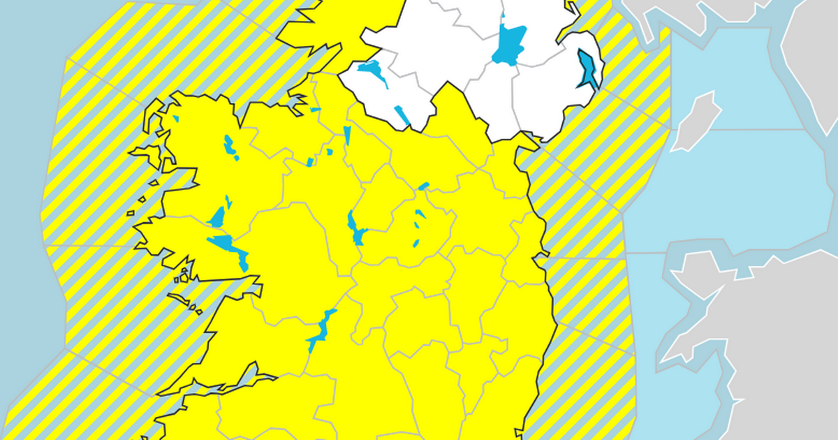
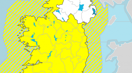
Met Éireann has issued a status yellow rain warning for Ireland ahead of heavy and thundery rain that is set to drench the country on Sunday night.
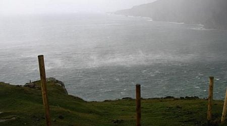
The warning, issued shortly after 2pm on Saturday afternoon, has flagged a band of heavy rain that will move eastwards across the country on Sunday night and Monday morning, with the potential for thundery downpours.
All 26 counties in the Republic of Ireland are affected by the warning, which will come into effect at 10pm on Sunday night and remain in place until 8am on Monday morning. The UK Met Office, which is responsible for issuing weather warnings for Northern Ireland, has not yet put any in place.
Met Éireann has warned that the inclement weather could potentially lead to localised flooding, difficult travelling conditions and poor visibility in the worst affected areas.
The warning comes amid more pleasant conditions that are set to prevail on Saturday into Sunday morning and afternoon, with temperatures reaching as high as 25 degrees in places.
Light patches of rain are set to hit the west first on Sunday before heavy rain and thunder spread nationwide on Sunday night, with the worst of the weather set to clear in the morning on Monday, which Met Eireann says will be “largely dry and sunny” overall.
Check out the Met Éireann forecast for the weekend and the coming days below.
Saturday
Largely dry today as lingering rain or drizzle in the southeast will clear away early this morning with good spells of sunshine developing and isolated showers, mainly affecting Ulster and Connacht. Highest temperatures ranging from 17 or 18 degrees in the northwest to 22 or 23 degrees in the south and east, with light to moderate westerly winds, fresh at times in the northwest, easing later.
Mostly dry tonight with cloud building in southern and Atlantic parts. There is the chance of some patchy drizzle developing near the south coast later. Lowest temperatures of 8 to 13 degrees generally, milder closer to the south, with light variable winds becoming southeasterly by morning.
Sunday
Dry for most tomorrow morning with a mix of cloud and hazy sunny spells though some isolated patches of light rain or drizzle will occur, mainly over the western half of the country. During the evening, some heavy or thundery showers will start to move in from the south. Highest temperatures of 19 to 24 degrees generally, reaching 25 degrees in parts, all in moderate to fresh south or southeast winds.
Widespread heavy and thundery showers likely on Sunday night, merging to longer spells of rain with hail and localised flooding possible. A clearance will build over the western half of the country by dawn. Humid with temperatures not falling below 12 to 17 degrees with moderate, occasionally fresh, southerly winds veering westerly.
Monday
Wet at first over the eastern half of the country with shower and further thunderstorms likely and a continued chance of hail and localised flooding. The showers will clear into the Irish Sea through the morning as largely dry and sunny conditions with just a few showers in the west become widespread. Highest temperatures of 18 to 22 degrees with light to moderate westerly winds backing southwesterly later and freshening along Atlantic coasts.
A mild and humid night with cloud along with some rain and drizzle moves in from the Atlantic over the western half of the country. Mostly dry with clear spells further east. Temperatures not falling below 12 to 16 degrees in moderate to fresh and gusty southerly winds.
Tuesday
Plenty of cloud at first with outbreaks of light rain and drizzle, becoming patchier through the morning with sunny spells breaking through with largely dry conditions developing for the afternoon and evening. Highest temperatures of 17 to 21 degrees in moderate to fresh and gusty southerly winds which will veer westerly and ease light to moderate for the afternoon.
Wednesday
Some uncertainty but indications are that after a largely dry start with some sunny spells, it will turn breezier with showery outbreaks of rain tracking eastwards over the country. Highest temperatures of 16 to 20 degrees generally.
Further outlook
Further spells of rain or showers expected, interspaced with dry intervals. Temperatures generally in the mid to high teens.
Sign up to the Irish Mirror's daily newsletter here and get breaking news and top stories direct to your inbox.
Related


Share this page
Guest Posts by Easy Branches


