


Ireland Weather: Temperatures to soar to 25 degrees on 'really good' weekend before 'nasty' thunderstorms arrive
According to the Met Eireann forecast, there will be lots of sunshine and genuinely warm weather this weekend before the arrival of heavy downpours and thundery showers on Sunday night
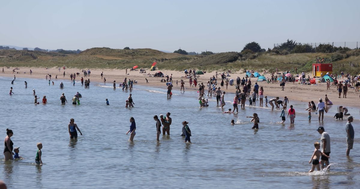
Ireland is set to experience some “really good” and some pretty bad weather this weekend, with plenty of sunshine before the arrival of potentially “nasty” thunderstorms.
The good news is that for most, those thunderstorms are likely to hold off until the tail end of the weekend on Sunday night, before which there will be lots of sunshine and some of the genuinely warm weather which has been conspicuous by its absence this summer.
According to Met Éireann, Saturday is set to be “largely dry” with “good spells of sunshine”, with temperatures reaching highs of 23 degrees in the south and east of the country. The mercury will reach even higher on Sunday, tipping 25 degrees in parts.
But after a largely dry start, light patches may hit the west before more severe weather begins to arrive in from the south, bringing “heavy and thundery” showers that will be widespread come Sunday evening.
READ MORE: Gardai arrest man and woman, 50s, in connection with murder of pensioner Josephine Ray
Echoing the Met Éireann forecast, Alan O’Reilly of Carlow Weather has flagged a “really good” weekend before the stormy weather arrives on Sunday evening. The south and southeast of the country are likely to escape the worst of the weather but the rest of the country is at risk of up to 20mm of rain amidst the heavy downpours.
Beyond Sunday, after the worst of the showers clear on Monday morning, “largely dry and sunny conditions” are set to prevail, with more “largely dry” weather on Tuesday. The forecast beyond the middle of the week is more uncertain, but for those of you heading to Electric Picnic next weekend, O’Reilly has suggested that “Friday and Saturday are looking very good at the moment” with signs of “low risk rain” on Sunday as music fans descend on Stradbally for one of the highlights of the Irish summer.
Check out the Met Éireann forecast for the weekend and the coming days below.
Saturday
Largely dry today as lingering rain or drizzle in the southeast will clear away early this morning with good spells of sunshine developing and isolated showers, mainly affecting Ulster and Connacht. Highest temperatures ranging from 17 or 18 degrees in the northwest to 22 or 23 degrees in the south and east, with light to moderate westerly winds, fresh at times in the northwest, easing later.
Mostly dry tonight with cloud building in southern and Atlantic parts. There is the chance of some patchy drizzle developing near the south coast later. Lowest temperatures of 8 to 13 degrees generally, milder closer to the south, with light variable winds becoming southeasterly by morning.
Sunday
Dry for most tomorrow morning with a mix of cloud and hazy sunny spells though some isolated patches of light rain or drizzle will occur, mainly over the western half of the country. During the evening, some heavy or thundery showers will start to move in from the south. Highest temperatures of 19 to 24 degrees generally, reaching 25 degrees in parts, all in moderate to fresh south or southeast winds.
Widespread heavy and thundery showers likely on Sunday night, merging to longer spells of rain with hail and localised flooding possible. A clearance will build over the western half of the country by dawn. Humid with temperatures not falling below 12 to 17 degrees with moderate, occasionally fresh, southerly winds veering westerly.
Monday
Wet at first over the eastern half of the country with shower and further thunderstorms likely and a continued chance of hail and localised flooding. The showers will clear into the Irish Sea through the morning as largely dry and sunny conditions with just a few showers in the west become widespread. Highest temperatures of 18 to 22 degrees with light to moderate westerly winds backing southwesterly later and freshening along Atlantic coasts.
A mild and humid night with cloud along with some rain and drizzle moves in from the Atlantic over the western half of the country. Mostly dry with clear spells further east. Temperatures not falling below 12 to 16 degrees in moderate to fresh and gusty southerly winds.
Tuesday
Plenty of cloud at first with outbreaks of light rain and drizzle, becoming patchier through the morning with sunny spells breaking through with largely dry conditions developing for the afternoon and evening. Highest temperatures of 17 to 21 degrees in moderate to fresh and gusty southerly winds which will veer westerly and ease light to moderate for the afternoon.
Wednesday
Some uncertainty but indications are that after a largely dry start with some sunny spells, it will turn breezier with showery outbreaks of rain tracking eastwards over the country. Highest temperatures of 16 to 20 degrees generally.
Further outlook
Further spells of rain or showers expected, interspaced with dry intervals. Temperatures generally in the mid to high teens.
Sign up to the Irish Mirror's daily newsletter here and get breaking news and top stories direct to your inbox.
Related


Share this page
Guest Posts by Easy Branches


